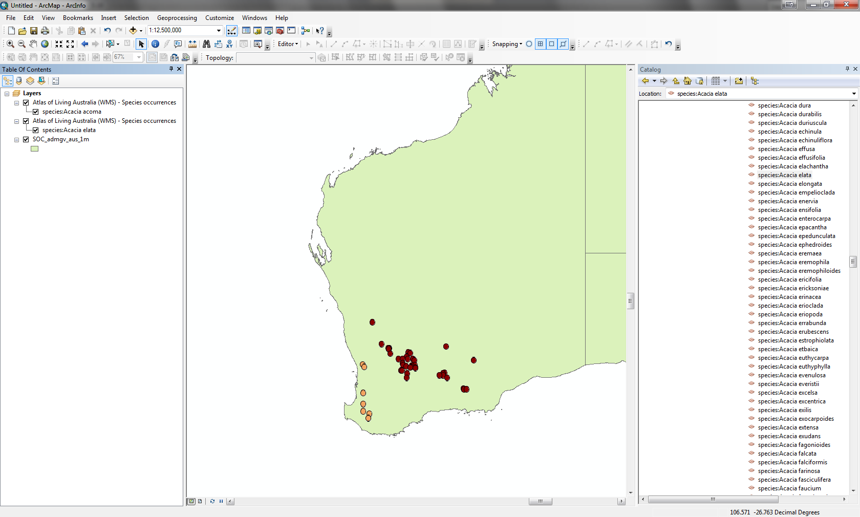
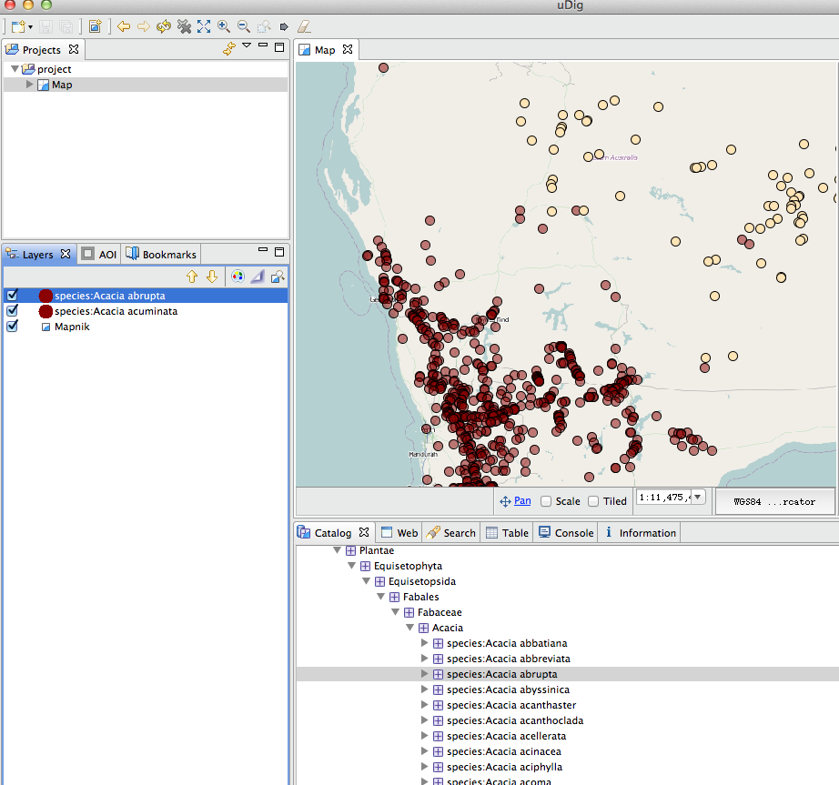
Its now possible to view and work with a list of species layers for a genus or higher taxon through a OGC compliant desktop tool such as uDIG or ArcGIS.This allows users to render the data for multiple species on a map within a desktop top with some styling options for the layers. Links to WMS server GetCapabilities documents are on species and higher taxon pages. To retrieve a list of species layers, first navigate to a higher taxon e.g. Acacia
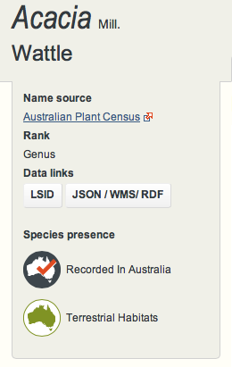
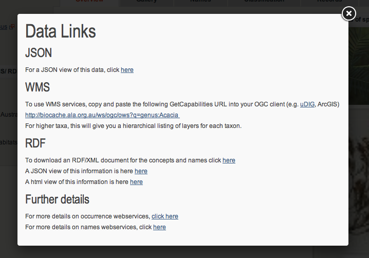
Clicking the “JSON/WMS/RDF” button on the left hand panel will give the following popup which includes a link to a WMS GetCapabilities document.
This document can then be used in uDIG to retrieve a list of layers available for this higher taxon.
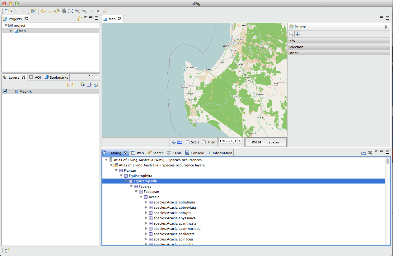
These tools will then allow the rendering of multiple layers.
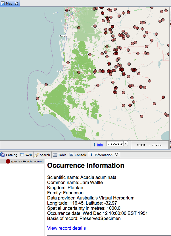
Individual record information can be retrieved through tool.
Below is a screenshot from ArcGIS.
For more details on the WMS services, there is some documentation here.
